Rheinmetall and ICEYE provided Ukraine with satellite images
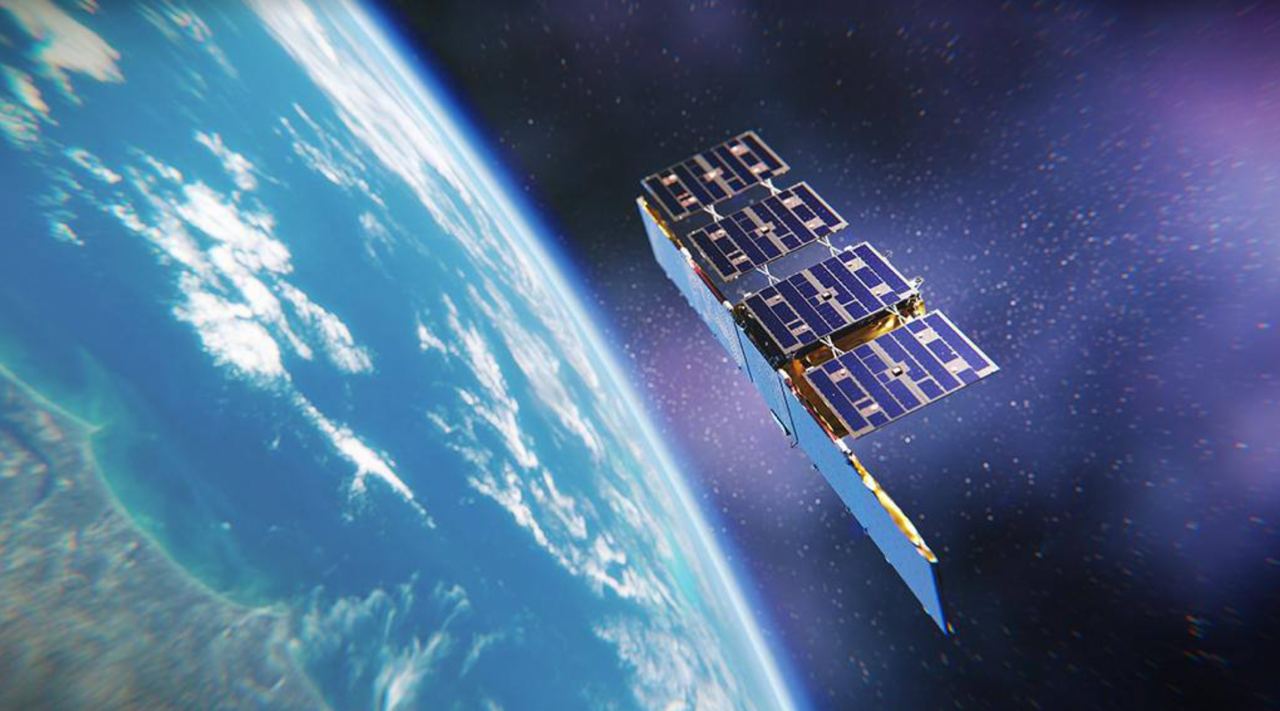
11 November, 2024 The ICEYE satellite. Photo credits: ICEYE Rheinmetall and Ukraine, with the support of the German government, signed a contract to provide satellite reconnaissance services.
Rheinmetall reported on this in a press release. Thanks to this agreement, Ukraine receives more data from satellites equipped with ICEYE's synthetic aperture radar (SAR). This agreement was made possible by strengthening the cooperation between Rheinmetall and ICEYE, which was announced in September 2024.
As part of this cooperation, Rheinmetall has been granted exclusive rights to sell SAR satellites to military and government users in the German and Hungarian markets.
 The ICEYE satellite. Photo credits: ICEYE
Ukraine started receiving new satellite images in early October 2024.
The cooperation involves the allocation of satellite operating time and access to the satellite constellation. This allows us to use the capabilities of the entire ICEYE constellation. Since 2018, ICEYE has launched 38 satellites for ICEYE's and its customers' use.
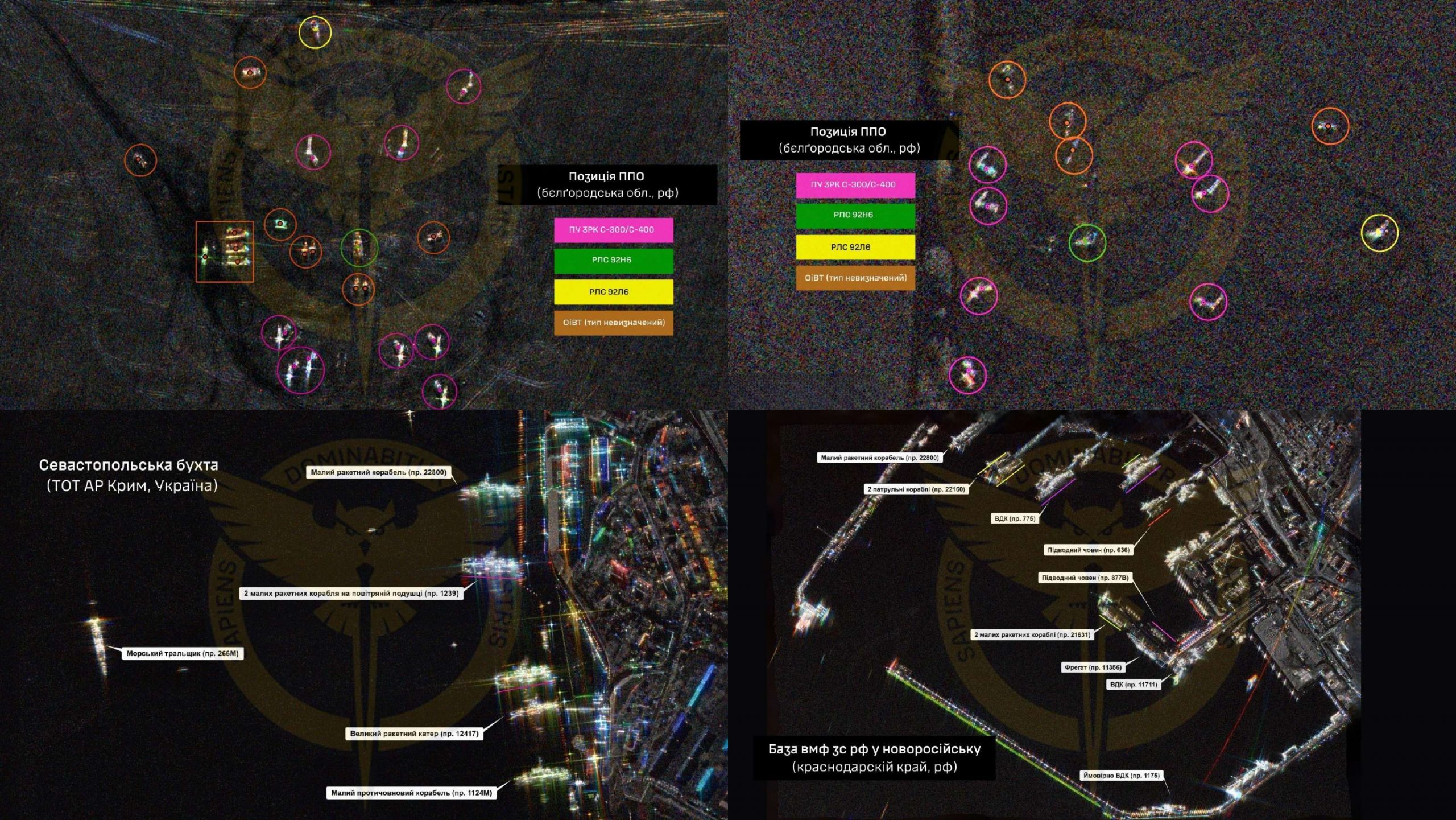
 Satellite images of Russian military facilities taken by an SAR satellite.
Photo credits: Defense Intelligence of Ukraine
SAR satellites offer the advantage over conventional satellites that they can generate high-resolution images regardless of weather conditions or time of day.
Ukraine's cooperation with ICEYE
In August 2022 ICEYE announced a contract with the Serhiy Prytula Charity Foundation to provide the Government of Ukraine with ICEYE's SAR satellite imaging capabilities with one of ICEYE's SAR satellites designated for the Government of Ukraine's use over the region. "Ukraine is the owner of the satellite, and it is the Ukrainian side that determines what and when it takes pictures, as well as in what format and spectrum we receive the data. In other words, we fully own, manage and use the images of this satellite," reads the press release of the Serhiy Prytula Charity Foundation.
Throughout using the "people's satellite" and access to the ICEYE satellite constellation, Ukrainian specialists have taken a total of 4173 images of enemy targets, including:
- 370 - airfields;
- 238 - air defense and radio reconnaissance positions;
- 153 - oil depots and fuel warehouses;
- 147 - missile, aviation weapons, and ammunition depots;
- 17 - naval bases.
It is reported that about 38% of the entire data set obtained through ICEYE was used to directly prepare fire on the enemy.
In July 2024, the Ministry of Defense of Ukraine and ICEYE signed a memorandum of cooperation in the field of remote sensing.
In the Memorandum, ICEYE continues to constantly ensure that the imagery captured pertinent to Ukraine's territory is used in the interests of ensuring the security and defense of Ukraine in conditions of armed aggression and not shared in any circumstance with hostile countries or entities.